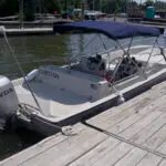
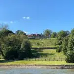
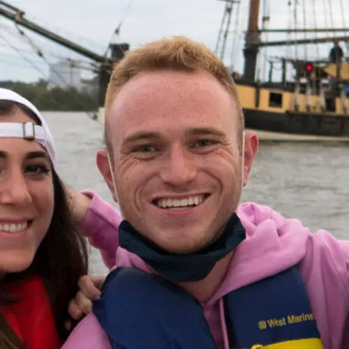
Our private boat cruises are a refreshing view of the nation’s capital! See the monuments and all the sights of the city with the sun in your face and the wind in your hair. Our private cruises are a great mixture of city scape and nature. We start on the Washington Channel at DC’s Wharf Marina and move up to the northern Potomac for a sight of numerous monuments as well as the Washington Harbor. What makes our private cruises special is that we show you all of the things in between, much of it unnoticed even for many long time residents. Our Private Cruises are full of great local stories and fun conversation!


Searching Availability...
What sets Reflections DC apart is our extensive experience and expertise. Our captains excel in narrating tours, seamlessly weaving historical facts with captivating stories, making every journey a memorable and educational experience. Their expertise and engaging delivery ensure that passengers are not just sightseeing but fully immersed in the rich narratives of the waterways.
Our captains are also fully licensed by the United States Coast Guard to operate commercially, ensuring top-notch safety standards.
The charm of Reflections DC’s sightseeing cruises is uniquely different from other options in two distinct ways. Firstly, our narrated tours unfold with the same enchanting storytelling style as a classic Italian gondola cruise, where every anecdote and historical tidbit brings the journey to life. Secondly, our intimate boats ensure a cozy and personalized experience, allowing you to immerse yourself fully in the sights and sounds of Washington DC’s iconic landmarks. With Reflections DC, each cruise is a captivating blend of narrative elegance and intimate luxury, promising a memorable adventure on the Potomac River.
At Reflections DC, we strive to create a personalized and comfortable journey just for you. Your tour with us is all about catering to your preferences and ensuring you feel completely at ease throughout your adventure.


